Culture and History
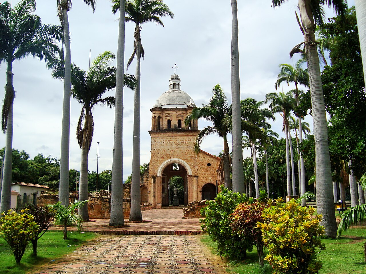
Villa del Rosario
Villa del Rosario is a municipality located in the northeastern region of Norte de Santander, known for its warm clim...
DISCOVER →
The history of Puerto Santander is closely connected to its location on the border between Colombia and Venezuela. The area developed as an important river and commercial settlement because of its connection with the Grita River and the border region. During the late 19th and early 20th centuries, the municipality became an important point for transportation and trade between the two countries. Puerto Santander was officially established as a municipality in 1947, after separating from the municipality of Cúcuta. Over the years, commerce, agriculture, and transportation became important activities for the local economy. Today, Puerto Santander preserves its border traditions and cultural identity, while its location continues to connect communities and commercial activities between Colombia and Venezuela.
Puerto Santander is located in the northeastern region of Norte de Santander, near the border with Venezuela, at approximately 60 meters above sea level, with a warm climate of around 28°C. *How to get there:* It is located about 60 km from the center of Cúcuta, taking approximately 1 to 1.5 hours by road. From Cúcuta, you travel northeast through the road that connects Cúcuta with Puerto Santander, passing through the rural areas of the metropolitan region before reaching the municipality. From Villa del Rosario, the journey takes approximately 1 to 1.5 hours by road. Public buses, taxis, and shared transportation are available from Cúcuta and nearby municipalities.
You can use the map to check the location and plan your visit.
Villa del Rosario is a municipality located in the northeastern region of Norte de Santander, known for its warm clim...
DISCOVER →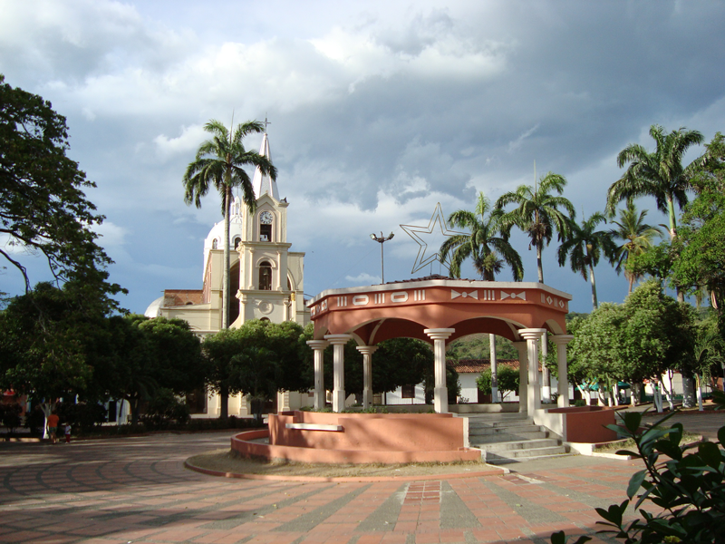
The history of Sardinata goes back to the colonial period, when the area was inhabited by indigenous communities and ...
DISCOVER →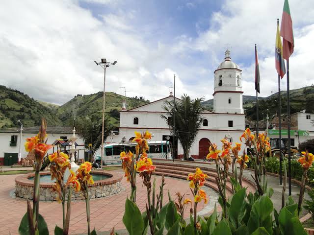
Santo Domingo de Silos is a municipality located in the southern region of Norte de Santander, known for its cool cli...
DISCOVER →