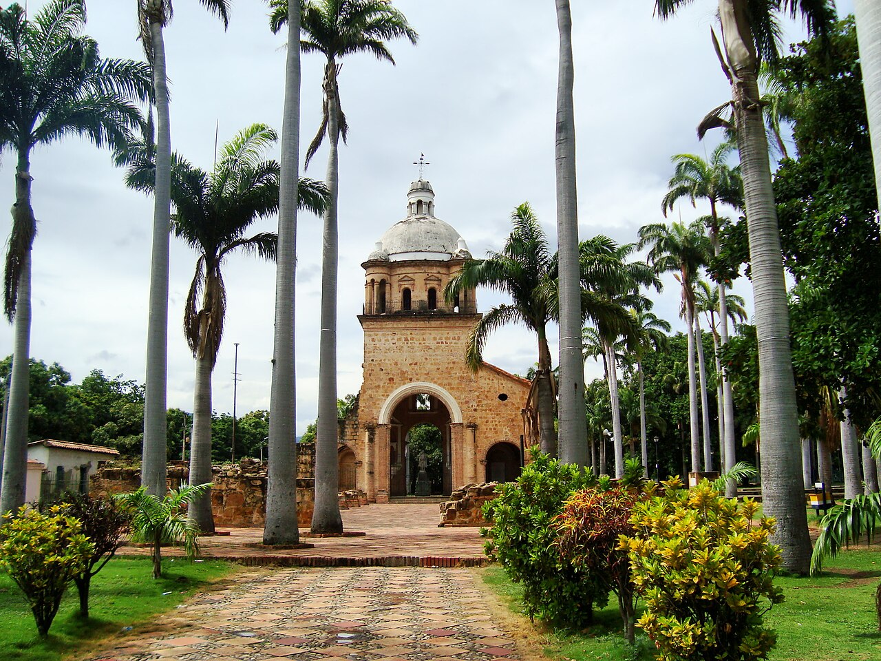
Culture and History
Villa del Rosario
Villa del Rosario is a municipality located in the northeastern region of Norte de Santander, known for its warm clim...
DISCOVER →
The history of Santo Domingo de Silos goes back to the colonial period, when the area was inhabited by indigenous communities and later became a Spanish settlement. The municipality was founded in 1550 by Captain Pedro de Ursúa and was named after Santo Domingo de Silos, a Spanish saint. Over time, the population grew around agriculture and livestock, taking advantage of the fertile mountain lands. Santo Domingo de Silos became an important agricultural community in the southern region of Norte de Santander, especially for the production of potatoes, onions, wheat, and other crops. Since then, the municipality has preserved its religious traditions, rural customs, and cultural heritage. Today, Santo Domingo de Silos maintains its historic identity and connection with agriculture and the natural landscapes of the Andean region.
Santo Domingo de Silos is located in the southern region of Norte de Santander, at approximately 2,700 meters above sea level, with a cool climate of around 14°C. *How to get there:* It is located about 100 km from Cúcuta, taking approximately 2.5 to 3 hours by road. From Cúcuta, you travel south towards Pamplona and then continue through Chitagá before reaching Santo Domingo de Silos. From Pamplona, the journey takes approximately 1 to 1.5 hours by road, passing through the mountain roads towards Silos. Public buses and shared transportation are available from Cúcuta, Pamplona, and nearby municipalities.
You can use the map to check the location and plan your visit.
Villa del Rosario is a municipality located in the northeastern region of Norte de Santander, known for its warm clim...
DISCOVER →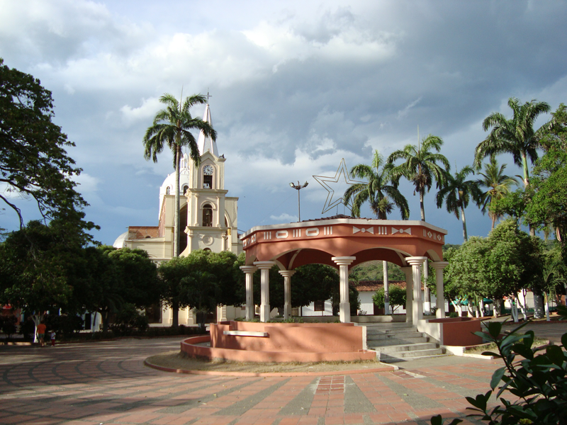
The history of Sardinata goes back to the colonial period, when the area was inhabited by indigenous communities and ...
DISCOVER →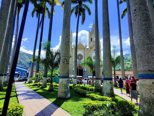
Salazar de las Palmas is a municipality located in the central region of Norte de Santander, known for its warm clima...
DISCOVER →