Adventure and Nature
Villa Caro
Villa Caro is a municipality located in the central region of Norte de Santander, known for its cool climate, green m...
DISCOVER →
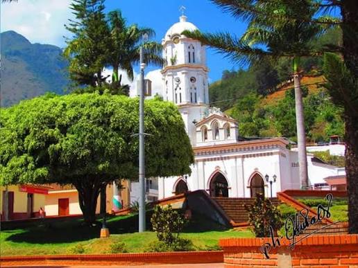
The history of Hacarí is connected to the Indigenous communities that inhabited the region before the arrival of the Spanish. During the colonial period, the area was gradually settled by Spanish colonists and indigenous populations, and its location near important routes helped the development of agriculture and commerce. The municipality was originally known as La Palma and later took the name Hacarí, a name associated with the Indigenous heritage of the region. Over the years, the community grew around farming and livestock, becoming part of the Ocaña region. Its history reflects the mixture of Indigenous traditions, rural life, and the cultural development of Norte de Santander.
Hacarí is located in the northwestern region of Norte de Santander, in the Ocaña subregion, at approximately 1,100 meters above sea level, with a warm and pleasant climate. How to get there: From Cúcuta, the journey is about 5 to 6 hours by road, traveling through El Zulia, Sardinata, and Ocaña before continuing toward Hacarí. From Ocaña, it takes approximately 1 to 1.5 hours by road through rural and mountainous areas. Public buses and shared vehicles connect Hacarí with Ocaña and other nearby municipalities, although travel times can vary depending on road conditions.
You can use the map to check the location and plan your visit.
Villa Caro is a municipality located in the central region of Norte de Santander, known for its cool climate, green m...
DISCOVER →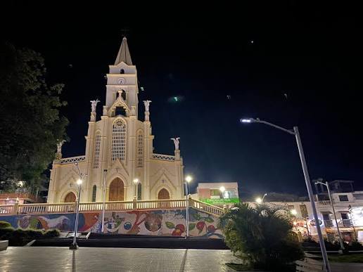
Toledo is a municipality located in the southern region of Norte de Santander, known for its cool climate, green moun...
DISCOVER →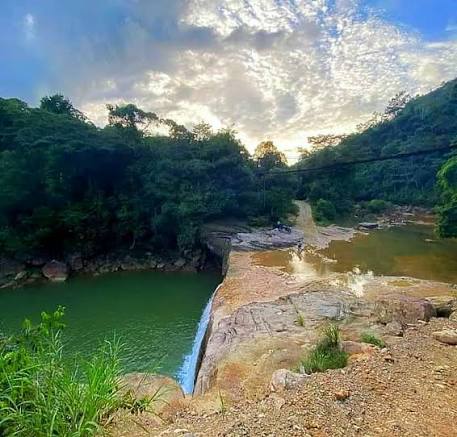
Tibú is a municipality located in the northeastern region of Norte de Santander, known for its warm climate, tropical...
DISCOVER →