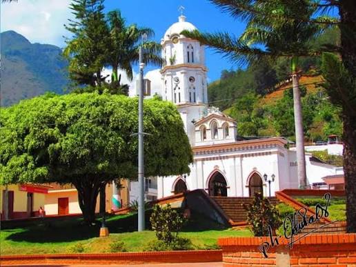
Adventure and Nature
Villa Caro
Villa Caro is a municipality located in the central region of Norte de Santander, known for its cool climate, green m...
DISCOVER →
Cucutilla has pre-Hispanic origins as a settlement of the Chitarero Indians led by chief Chapiro, and by the Zulaque tribe who paid tribute to Cacique Cúcuta, which is why its name is considered a diminutive of Cúcuta. Its colonial foundation could not be fully documented because municipal archives were lost, but tradition attributes it to Camilo Torres Delgado and José Gregorio Barragán on July 11, 1780 as San Juan Bautista de Cucutilla. It was erected as a parish in 1804 and as a municipality in 1834, and it is remembered that Liberator Simón Bolívar passed through several times and even spent a night there during the independence campaigns.
Cucutilla is located in the Central subregion of Norte de Santander, in the Andean region of Colombia, at coordinates 7°33' North and 72°47' West, at 1,277 - 1,300 meters above sea level, 101 km southwest of Cúcuta, about 3 hours by road. It borders Arboledas to the north and west, and Mutiscua and the department of Santander to the south. A large part of its 367 km² territory, more than 6,000 hectares, is part of the Santurbán Páramo and the Sisavita Regional Natural Park, with the Cucutilla and Zulasquilla rivers and streams Honda, Grande, Pedregal and Caracolí.
You can use the map to check the location and plan your visit.
Villa Caro is a municipality located in the central region of Norte de Santander, known for its cool climate, green m...
DISCOVER →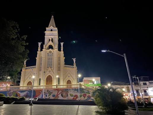
Toledo is a municipality located in the southern region of Norte de Santander, known for its cool climate, green moun...
DISCOVER →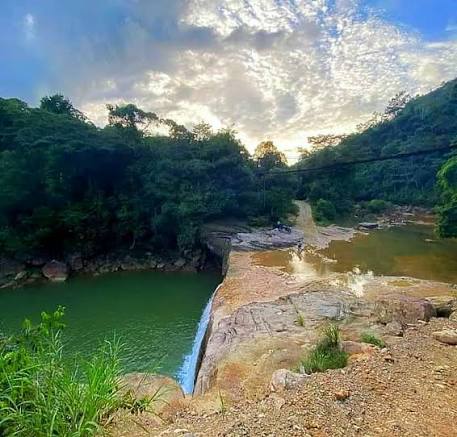
Tibú is a municipality located in the northeastern region of Norte de Santander, known for its warm climate, tropical...
DISCOVER →